
Highest temperature in Miami on Oct 6, 2026: PBE moves “91° to 92°” up to 32% from 13%
New forecast guidance reached the model between 14:00 UTC and 17:00 UTC on Oct 5. Same model version, later data cutoff: here is exactly which inputs changed.
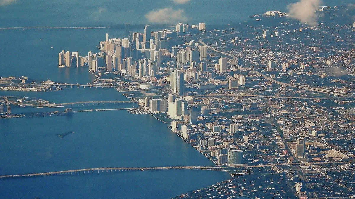
Photo: Marc Averette · CC BY-SA 3.0 · Wikimedia Commons
91° to 92° · pbe-weather-maxtemp@1.1.0 · 14:00 UTC → 17:00 UTC
Highest temperature in Miami on Oct 6, 2026?
91° to 92° · RESOLVED
- UPDATE · Oct 6 17:20Z PBE 48% pbe-weather-maxtemp-intraday@2.1.0 · data cutoff Oct 6 17:20Z
- UPDATE · Oct 6 19:10Z PBE 26% pbe-weather-maxtemp-intraday@2.1.0 · data cutoff Oct 6 18:30Z
Quick read
- pbe-weather-maxtemp@1.1.0 moved “91° to 92°” from 13% to 32% (+19 pts).
- Later data cutoff: Oct 5 11:00Z → Oct 5 17:00Z; same model version, so the move reflects inputs, not a model change.
- Primary inputs changed: GFS MOS forecast high, National Blend of Models forecast high.
- A comparable market observation was not captured with both snapshots, so no market move is stated.
What changed in the inputs
Between the snapshot captured at Oct 5 14:00Z (data cutoff Oct 5 11:00Z) and the one at Oct 5 17:00Z (cutoff Oct 5 17:00Z), the same model version — pbe-weather-maxtemp@1.1.0 — moved “91° to 92°” from 13% to 32%. The model inputs that changed: GFS MOS forecast high from 89°F to 90°F; National Blend of Models forecast high from 89°F to 90°F.
| Input | Before | After | Primary |
|---|---|---|---|
| Guidance lead time | 23h | 17h | — |
| GFS MOS forecast high | 89°F | 90°F | yes |
| National Blend of Models forecast high | 89°F | 90°F | yes |
This page reports which stored inputs differ between two immutable forecasts. It does not claim why the underlying weather guidance changed.
The forecast path
Data table
| Time (UTC) | Source | Value % |
|---|---|---|
| Oct 5 14:00Z | PBE pbe-weather-maxtemp@1.1.0 | 13 |
| Oct 5 14:06Z | Kalshi mid | 23 |
| Oct 5 14:08Z | Kalshi mid | 31 |
| Oct 5 14:10Z | Kalshi mid | 31 |
| Oct 5 14:12Z | Kalshi mid | 32 |
| Oct 5 14:16Z | Kalshi mid | 30 |
| Oct 5 14:28Z | Kalshi mid | 30 |
| Oct 5 14:46Z | Kalshi mid | 28 |
| Oct 5 15:01Z | Kalshi mid | 30 |
| Oct 5 15:02Z | Kalshi mid | 28 |
| Oct 5 15:04Z | Kalshi mid | 28 |
| Oct 5 15:06Z | Kalshi mid | 29 |
| Oct 5 15:12Z | Kalshi mid | 29 |
| Oct 5 15:14Z | Kalshi mid | 29 |
| Oct 5 15:16Z | Kalshi mid | 31 |
| Oct 5 15:18Z | Kalshi mid | 32 |
| Oct 5 15:24Z | Kalshi mid | 32 |
| Oct 5 15:26Z | Kalshi mid | 32 |
| Oct 5 15:40Z | Kalshi mid | 32 |
| Oct 5 15:56Z | Kalshi mid | 27 |
| Oct 5 15:58Z | Kalshi mid | 28 |
| Oct 5 16:00Z | Kalshi mid | 28 |
| Oct 5 16:16Z | Kalshi mid | 30 |
| Oct 5 16:18Z | Kalshi mid | 31 |
| Oct 5 16:20Z | Kalshi mid | 31 |
| Oct 5 16:22Z | Kalshi mid | 32 |
| Oct 5 16:28Z | Kalshi mid | 32 |
| Oct 5 16:30Z | Kalshi mid | 33 |
| Oct 5 16:32Z | Kalshi mid | 34 |
| Oct 5 16:38Z | Kalshi mid | 34 |
| Oct 5 16:40Z | Kalshi mid | 34 |
| Oct 5 17:00Z | PBE pbe-weather-maxtemp@1.1.0 | 32 |
| Oct 5 17:00Z | Kalshi mid | 34 |
A comparable market observation was not captured with both snapshots, so no market move is stated.
The two snapshots
| Earlier | Later | |
|---|---|---|
| Captured | Oct 5 14:00Z | Oct 5 17:00Z |
| Data cutoff | Oct 5 11:00Z | Oct 5 17:00Z |
| Guidance runs | NWS GFS MOS 2026-10-05T06Z, NWS National Blend of Models 2026-10-05T06Z | NWS GFS MOS 2026-10-05T12Z, NWS National Blend of Models 2026-10-05T12Z |
| PBE | 13% | 32% |
| Market at capture | — | 34% |
Evidence & method
What this story is based on. Every value above was read from these immutable records.
- Model
- pbe-weather-maxtemp@1.1.0 · RESEARCH
- Snapshot
- a0647832-c424-42c8-bf04-bb140ba81fd7
- Compared with
- cb5ddcdf-b6e8-4b70-b3fd-9ea9c465d11a
- Captured
- Oct 5 17:00Z
- Data cutoff
- Oct 5 17:00Z
- Market observation
- 34% · captured with the snapshot
- Source families
- NOAA/NWS via Iowa Environmental Mesonet archive · NOAA Regional Climate Centers ACIS · NOAA/NWS api.weather.gov
- Resolves on
- The Weather Company (weather.com/kalshi) — The Weather Company daily maximum temperature for CLIMIA (weather.com/kalshi)
- Independent check
- NWS Daily Climate Report CLIMIA (WFO MFL); NOAA RCC-ACIS USW00012839
- Measurement
- Maximum temperature for the climate day 2026-10-06, 00:00-24:00 local standard time (UTC-5)
- Rounding
- Whole degrees Fahrenheit as reported; preliminary values may differ by rounding/conversion
- Exceptions
- Preliminary data may be revised; the exchange may hold expiration until a non-erroneous revision, else last fair price
- Pre-window only; no current-conditions input
- Guidance can run cold/hot in unusual regimes (see LA diagnostic, 2026-10-04)
Weather · daily high — inputs: National Blend of Models day max (GFS MOS fallback) + station empirical guidance-error tables. This model on the research board →
Market prices are a benchmark only and never enter a PropBetEdge model. Research-stage probabilities; not advice.